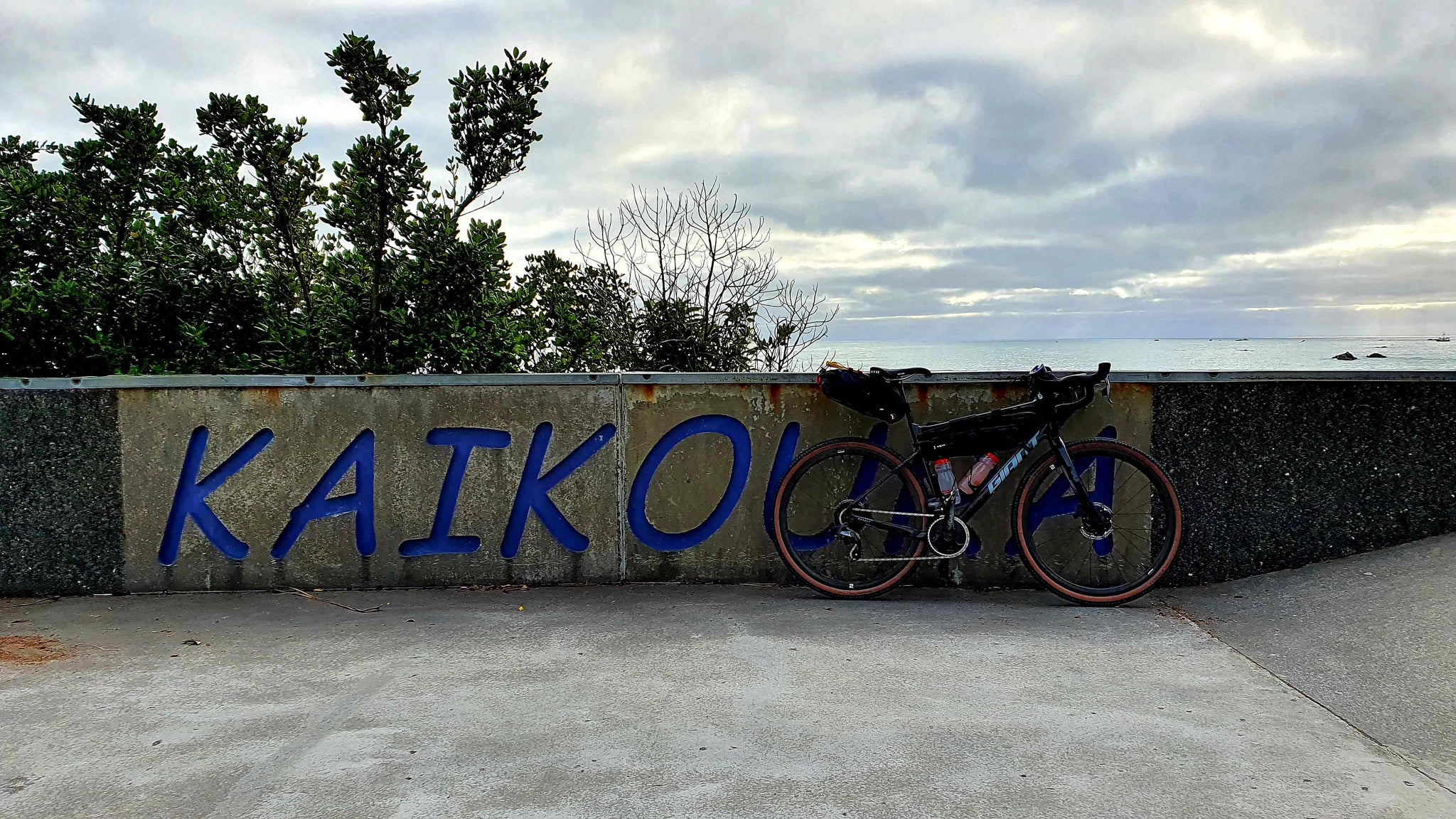
Hurunui Heartland Trail

After the busyness and chaos that 2020 has entertained us with, I was in need to get away for a couple of days after Christmas. The Hurunui Heartland trail ticked the boxes for an easily planned trip over some areas that I haven't ventured into for a long time, if not ever.
The Heartland trail links between Kaikoura and Canterbury, following the historic inland road through beautiful mountain ranges to reach the farmed plains north of Christchurch.

A quieter, safer alternative to State Highway 1, the Hurunui Trail traverses a diverse range of landscapes – from the rocky Pacific Coast through mountain ranges, tussock lands, pastoral farms and wine country. Along the way are a range of historic sites and other rural attractions including inland Canterbury towns and Waipara wine country.

The trail is a total of 203km in length and can be completed over multiple days. There are numerous basic and fully serviced campsites, motels and hotels, cafes and shops along the route, plus B&Bs, and farm stays. The longest unserviced stretch is 61km between Kaikoura and Mt Lyford Lodge.

The major towns along the way include Amberley, Hawarden, Culverden, Waiau and Kaikoura. If you plan your trip around these it will make your journey a lot easier.

The majority of this route follows sealed road with approximately 20km of gravel road between Culverden to Waiau, and around Pyramid Valley. There is plenty of livestock along the way too, including magpies, so maybe not such a great trip to plan during the annual magpie nesting season.


This trail itself is straightforward to navigate; signage is displayed throughout the trail at every intersection. You can also upload the ride into your GPS.

The weather for my trip was perfect, at the age of 40+, I still haven't learnt that you can get sunburned when it's cloudy! The area provides a variety of weather depending on the season, from cool coastal breezes to the searing dry heat in summer. Winter sees occasional snow and heavy rain.
Additional Information
You can get more information about the track at the following links.
Kaikoura
Hurunui Trails
NZ Cycle Trail
Strava Route Details
Route Information
Kaikoura—Mt Lyford Village
61km, 4–5 hours
The ride starts by crossing the Kowhai River via a ford and on to State Highway 70 – also known as the Inland Kaikoura Road.
Entering rolling hill country, the route soon crosses from the Kaikoura District to the Hurunui, climbing several inclines and passing over the Conway River and the historic Doone Station and gravesite.
The landforms around here still show the effects of the massive November 2016 earthquake, with the road crossing faultlines and scars.
From the high point at the Whalesback it is downhill to Mt Lyford Village where the lodge will be a welcome sight.
Mt Lyford Village—Waiau
22km, 1 hour
From the village, it’s a downhill run to the farming town of Waiau, the village most damaged by the 2016 eathquake and famous for its country hotel and ice creams.
Waiau—Culverden
30km, 2 hours
After crossing the Waiau River, the route turns towards the Kaiwara Hills, with some rolling gravel roads before crossing the Amuri Basin to Culverden.
Hanmer Springs is a 36km side trip up SH7/7a. A popular visitor resort for its hot springs, cafes and mountain biking, it is also the gateway to the St James, Rainbow and Molesworth Muster trails.
Culverden—Hurunui Bridge
26km, 1.5 hours
This largely flat, sealed section leaves Culverden in a westward direction to follow the edge of the Amuri Basin out to Balmoral Station. It then heads back to the Hurunui Bridge, on the south side of which is an historic hotel.
Hurunui Bridge—Waikari turnoff
20km, 1 hour
Another flat, sealed road section, this starts on SH7 for 3km before heading off on quiet rural roads through Hawarden and on towards Waikari.
Waikari turnoff—Amberley
45km, 3–4 hours
The route turns to the west at Pyramid Valley Road, famous for its limestone outcrops and winery. The route heads over the hill country of the Waipara Gorge, with 19.5km of gravel riding including several climbs. Care is required due to rural traffic, sheep, tractors, milk tankers among it.
Having returned to the sealed road, it’s a picturesque descent to the vineyards of the Waipara wine region, and on to the busy rural town of Amberley.


